27th Oct, 2022 9:30
Fine Art, Antiques & Asian Art

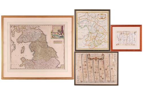
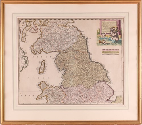
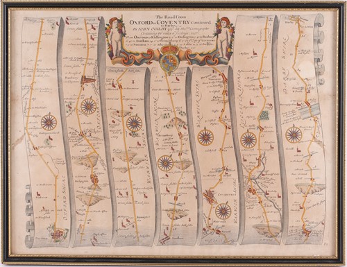
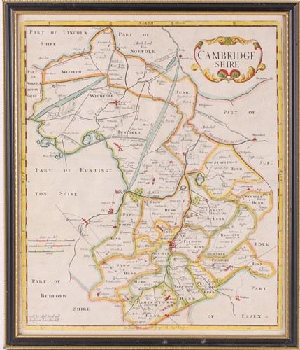
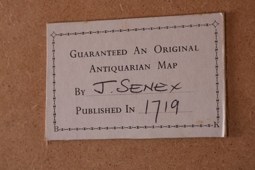
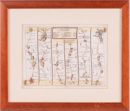
Cartography: Pierre Mortier, North England, hand-tinted engraving showing, Northumbria, Cumbria, Westmorland & Lancashire, 49cm x 59.5cm; and three further hand tinted maps comprising, Cambridgeshire published by Abel Swal & John Churchill, 43.5cm x 36cm; a Bristol to Weymouth road map by John Senex, 16.5cm x 22cm and The Road from Oxford to Coventry by John Ogilby, 35cm x 46cm
Sold for £60
Condition Report
All framed and glazed.
Cartography: Pierre Mortier, North England, hand-tinted engraving showing, Northumbria, Cumbria, Westmorland & Lancashire, 49cm x 59.5cm; and three further hand tinted maps comprising, Cambridgeshire published by Abel Swal & John Churchill, 43.5cm x 36cm; a Bristol to Weymouth road map by John Senex, 16.5cm x 22cm and The Road from Oxford to Coventry by John Ogilby, 35cm x 46cm

