27th Aug, 2020 9:30
The August Sale | Fine Art, Antiques & Jewellery

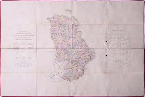
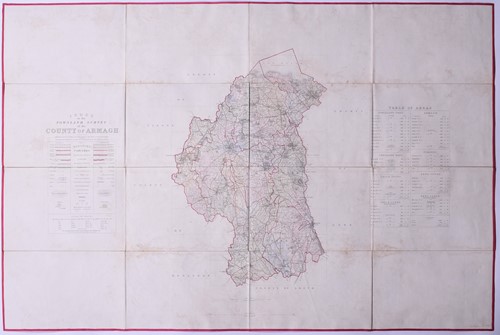
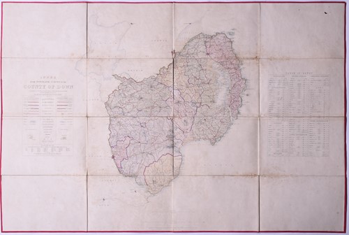
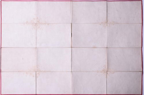
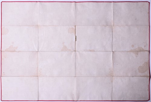
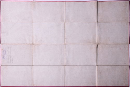
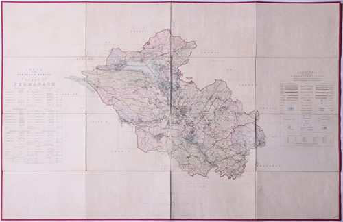
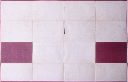
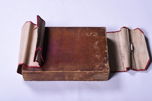
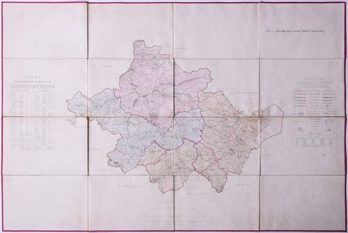
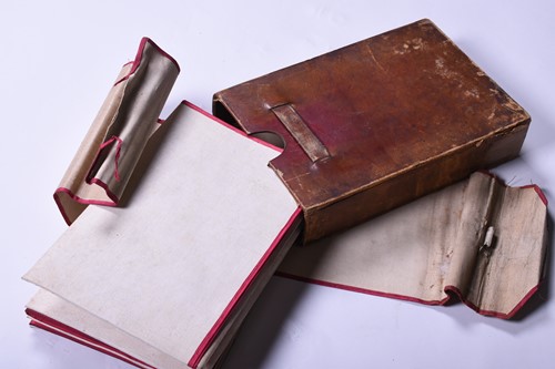
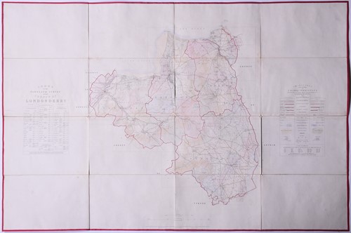
Ireland: Ordnance Survey (publishers), a compendium of six 19th century Ireland hand-coloured maps produced by Ordnance Survey, folded and linen backed with crimson edging, comprising: 'Index to the Townland Survey of the County of Fermanagh', 'Index to the Townland Survey of the County of Armagh', 'Index to the Townland Survey of the County of Londonderry', 'Index to the Townland Survey of the County of Antrim', 'Index to the Townland Survey of the County of Tyrone' and 'Index to the Townland Survey of the County of Down', circa 1835, contained in a linen sleeve and a leather outer slip case, unmarked.
each map 63 cm x 98 cm.
Sold for £300
Condition Report
Foxing evident to all maps, some hand-written annotations. No major tears or rips. Wear to the linen outer and leather outer case.
Ireland: Ordnance Survey (publishers), a compendium of six 19th century Ireland hand-coloured maps produced by Ordnance Survey, folded and linen backed with crimson edging, comprising: 'Index to the Townland Survey of the County of Fermanagh', 'Index to the Townland Survey of the County of Armagh', 'Index to the Townland Survey of the County of Londonderry', 'Index to the Townland Survey of the County of Antrim', 'Index to the Townland Survey of the County of Tyrone' and 'Index to the Townland Survey of the County of Down', circa 1835, contained in a linen sleeve and a leather outer slip case, unmarked.
each map 63 cm x 98 cm.

